Maps of Northeastern United States
Maps of Northeast of the United States
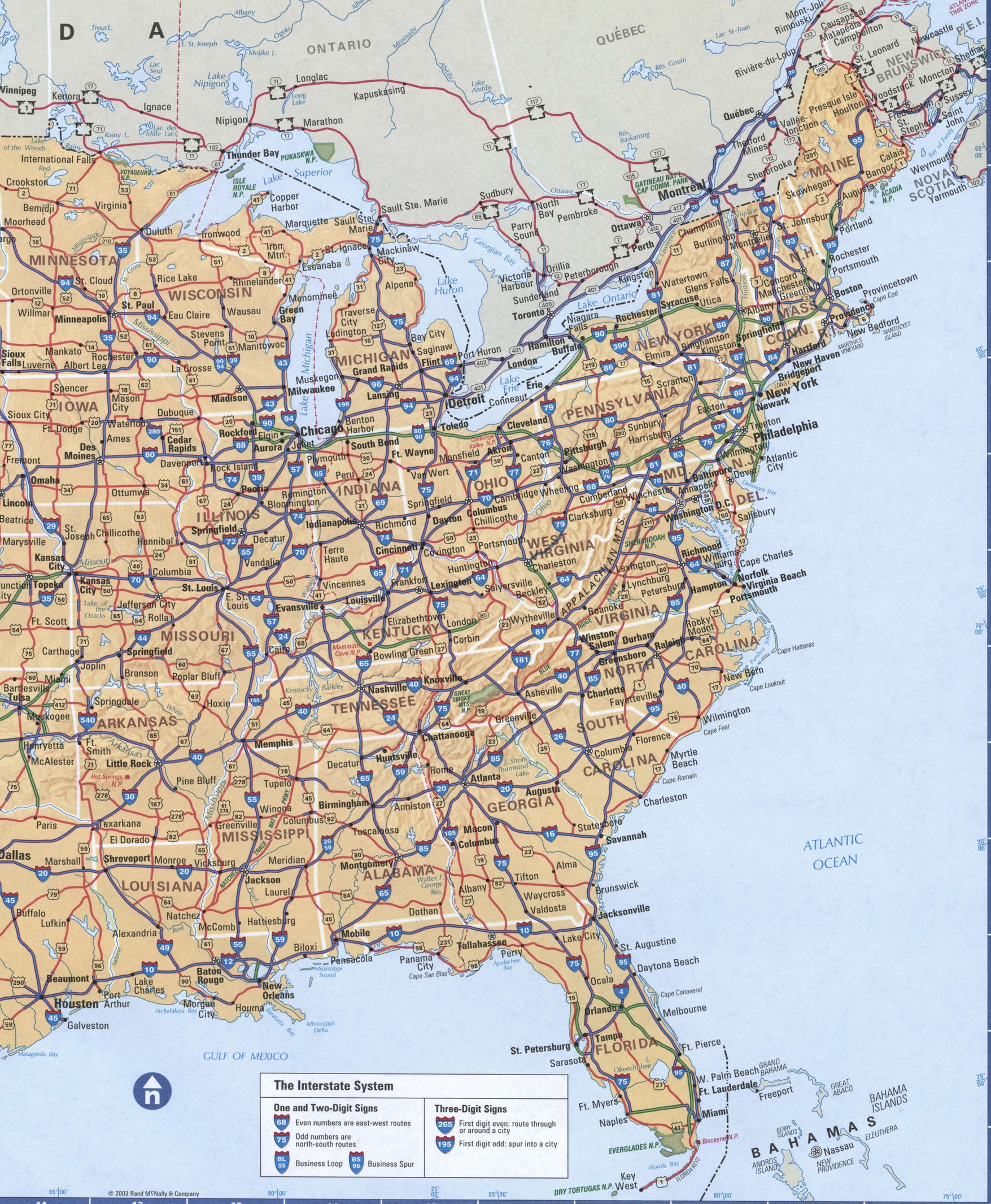
Region NorthEast of the United States on the map.
New England subregion (Vermont, Connecticut, Massachusetts, Maine, new Hampshire, and Rhode island).
Mid-Atlantic sub-region (new Jersey, new York, and Pennsylvania).
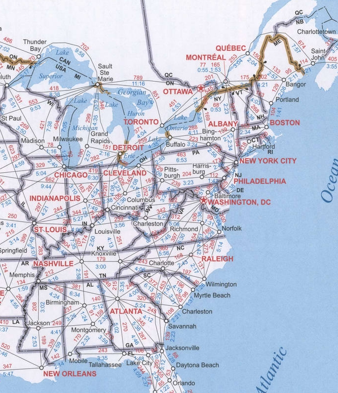
The page provides four maps of the US East coast: detailed map of the Eastern part of the country, the road map northeastern region USA, satellite Google map of the Eastern United States, chart of distances between cities on the East coast. All maps are high quality and optimized for viewing on mobile devices, so you can see the smallest details.
×
- Cities of NorthEast USA


