Map of Pennsylvania state with cities and counties
Maps of Pennsylvania state with cities and counties, highways and roads
Maps of the state of Pennsylvania with large cities and small towns, highways and local roads, County boundaries, and a scalable Google satellite map. Detailed maps of the state of Pennsylvania are optimized for viewing on mobile devices and desktop computers. This page contains four maps of the state of Pennsylvania:
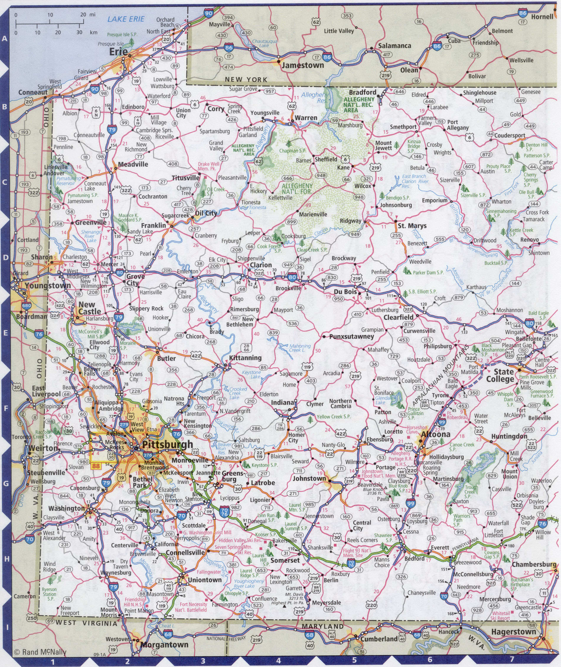
- The first is a detailed road map - Federal highways, state highways, and local roads with cities;
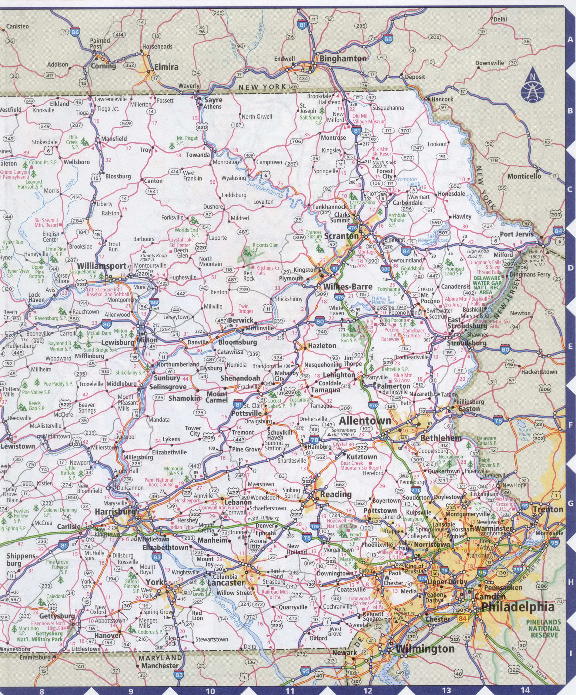
- The second is a roads map of Pennsylvania with localities and all national parks, national reserves, national recreation areas, Indian reservations, national forests, and other attractions;
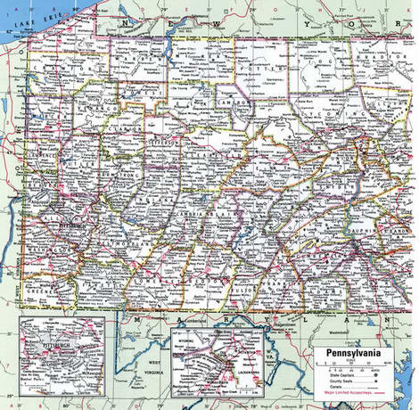
- The third is a map of Pennsylvania showing the boundaries of all the counties of the state with the indication of localities-administrative centers of the counties;
- The fourth is a Google satellite map of Pennsylvania, where you can view the location of all the interesting places in the state in interactive mode.
You will evaluate which of the presented maps is most useful for you. It may be convenient for you to compare information from all four sources.
All maps can be freely used-downloaded as a file or printed on paper. Using our maps, you can get directions along highways and local roads for sightseeing trips to the main attractions of the state of Pennsylvania:
Art gallery at the Carnegie Institute, the city of Pittsburgh.
Philadelphia is home to the Museum of fine arts and the Academy of Music.
Museum of natural Sciences in Pittsburgh. Huge scenic Fairmont Park in Philadelphia.
Valley forge historical Park, Gettysburg national military Park, Eisenhower historical Park.
Interesting natural sites: Fallingwater waterfalls; eighty-kilometer Grand Canyon; point state Park-Fontaine.
PPG Paints Arena is a 19,000-seat sports arena in Pittsburgh, Pennsylvania. The Pittsburgh penguins of the National hockey League play their home games at the arena.
Wells Fargo Center is an indoor sports facility in Philadelphia, Pennsylvania. Is the home arena for the Philadelphia Flyers, Philadelphia 76ers. The capacity of 19500 people.
Philadelphia international airport is the largest airport in the state of Pennsylvania. The airport serves flights to
USA, Canada, Latin America, Europe, the Middle East and the Caribbean Islands. Travel time by plane from New York approximately 1 hour.
The airport is located at a distance of 13 km from the city center. A $ 25 taxi will take you from the airport to downtown Philadelphia. The fare for the railway is about 5 dollars.
Highways and roads map of Pennsylvania state with cities


Map of Pennsylvania state with national parks, reserves, recreation areas, and Indian reservations
Map of Pennsylvania state counties
Google satellite map of the U.S. state of Pennsylvania showing all attractions

