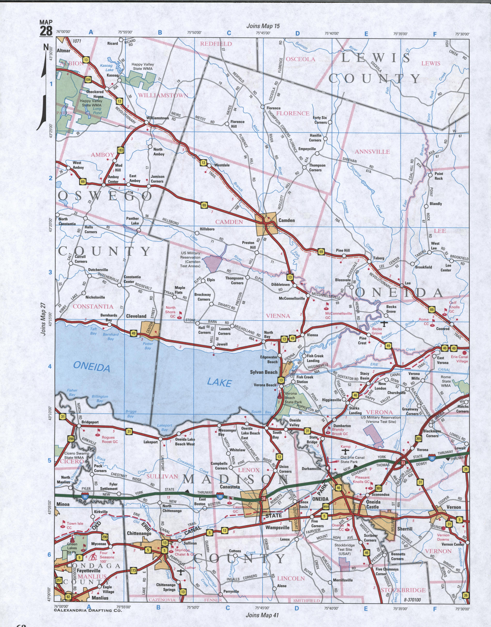
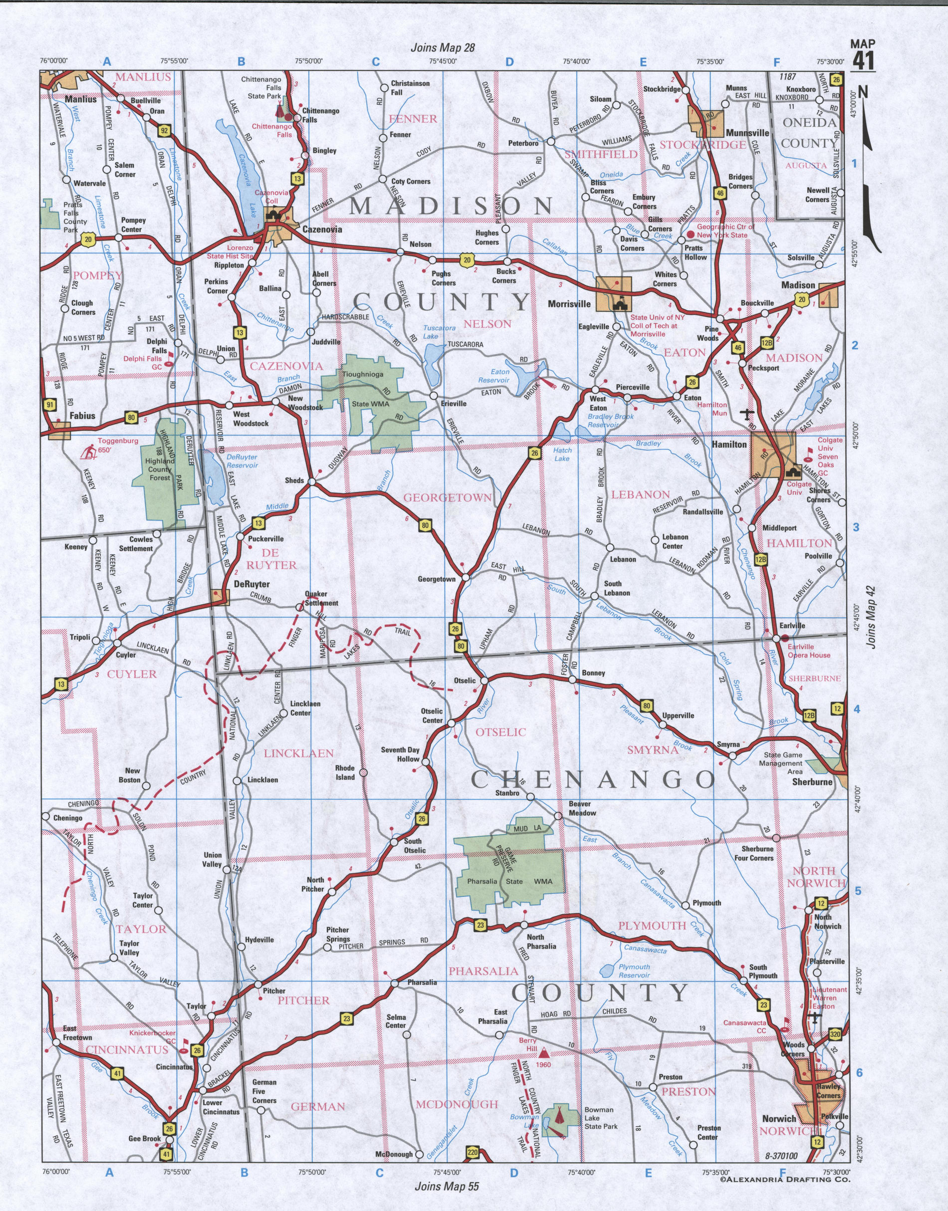
Map of Madison County, New York state
Map of Madison County, New York
Maps of Madison County, New York state:
- Detailed road map of Madison County
- Satellite map of Madison County, New York state
- Street map Village of Wampsville, New York, United States


Satellite map of Madison County (New York state) with the borders of neighboring counties
The County's administrative centre Village of Wampsville - street map with house numbers