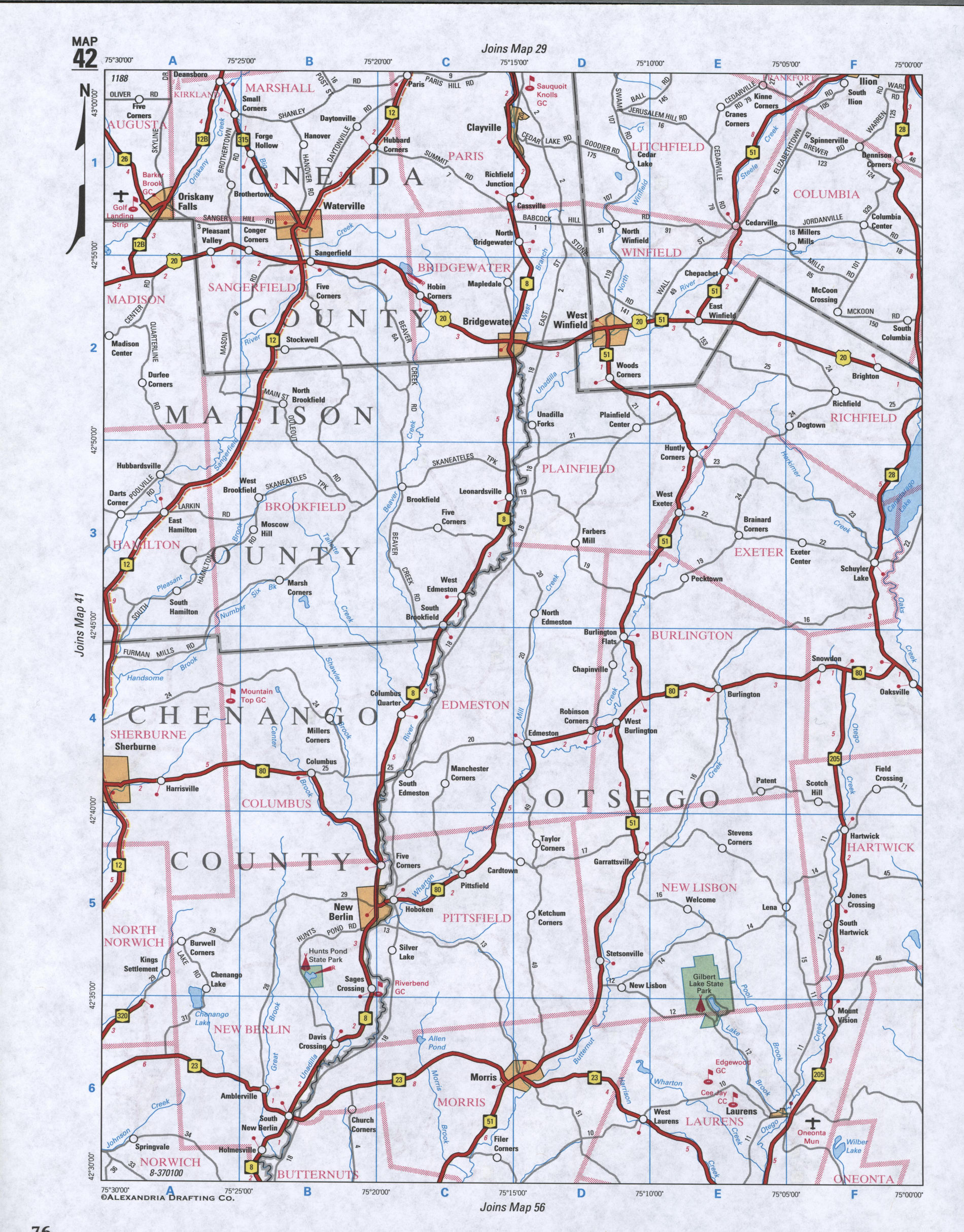
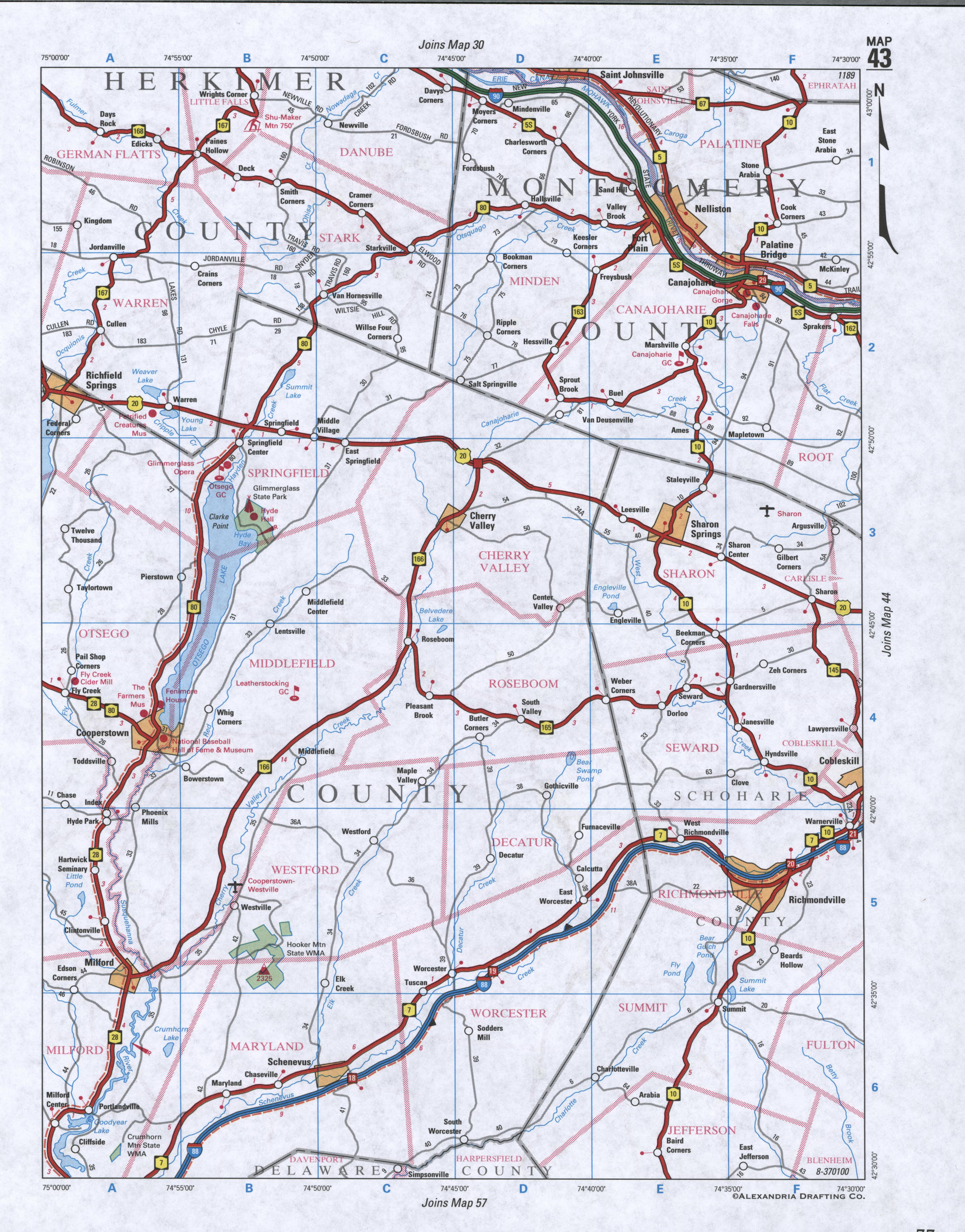
Map of Otsego County, New York state
Map of Otsego County, New York
Maps of Otsego County, New York state:
- Detailed road map of Otsego County
- Satellite map of Otsego County, New York state
- Street map of village of Cooperstown, New York, United States


Satellite map of Otsego County (New York state) with the borders of neighboring counties
The County's administrative centre village of Cooperstown - street map with house numbers