Map of New Hampshire state with cities and counties
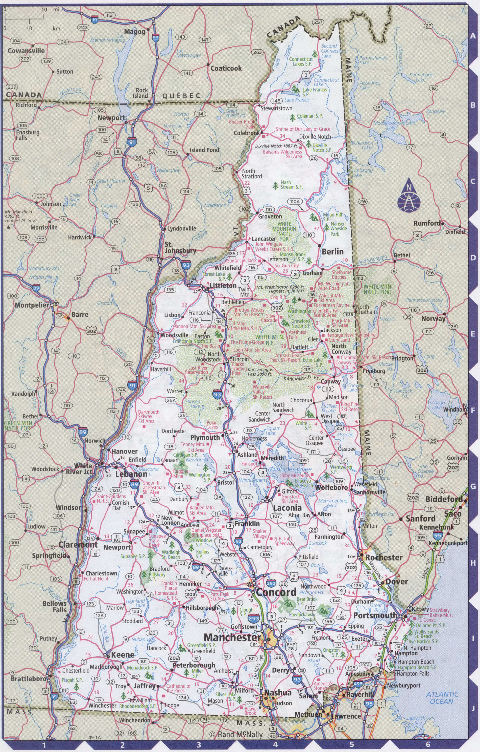
Maps of New Hampshire state with cities and counties, highways and roads
Detailed maps of the state of New Hampshire are optimized for viewing on mobile devices and desktop computers. This page contains four maps of the state of New Hampshire:
- The first is a detailed road map - Federal highways, state highways, and local roads with cities;
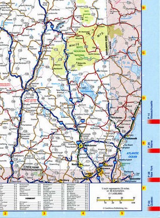
- The second is a roads map of New Hampshire with localities and all national parks, national reserves, national recreation areas, Indian reservations, national forests, and other attractions;
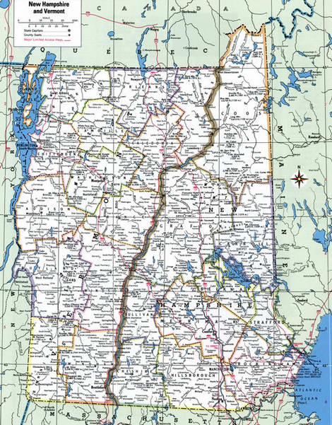
- The third is a map of New Hampshire showing the boundaries of all the counties of the state with the indication of localities-administrative centers of the counties;
- The fourth is a Google satellite map of New Hampshire, where you can view the location of all the interesting places in the state in interactive mode.
You will evaluate which of the presented maps is most useful for you. It may be convenient for you to compare information from all four sources.
All maps can be freely used-downloaded as a file or printed on paper. Using our maps, you can get directions along highways and local roads for sightseeing trips to the main attractions of the state of New Hampshire:
In the center of the state is the white mountain nature reserve of National significance.
Portsmouth has been a center of military and industrial shipbuilding since the late eighteenth century.
Concord city the building of the main new Hampshire Capitol.
Manchester - Boston Regional Airport is located 5 km South of the center of Manchester, new Hampshire. Until 2006, the airport was named Manchester Airport, after which the words were added "Regional" and "Boston", indicating its close proximity to it of Boston (80 km South). The flight time from New York to Manchester airport on a direct flight is approximately 1 hour 15 minutes.
Highways and roads map of New Hampshire state with cities

Map of New Hampshire state and Vermont state
Map of New Hampshire state and Vermont state with cities and roads, national parks, reserves, recreation areas, and Indian reservations
Map of New Hampshire and Vermont with counties
Detailed map of New Hampshire state and Vermont state with counties
Google satellite map of the U.S. state of New Hampshire showing all attractions

