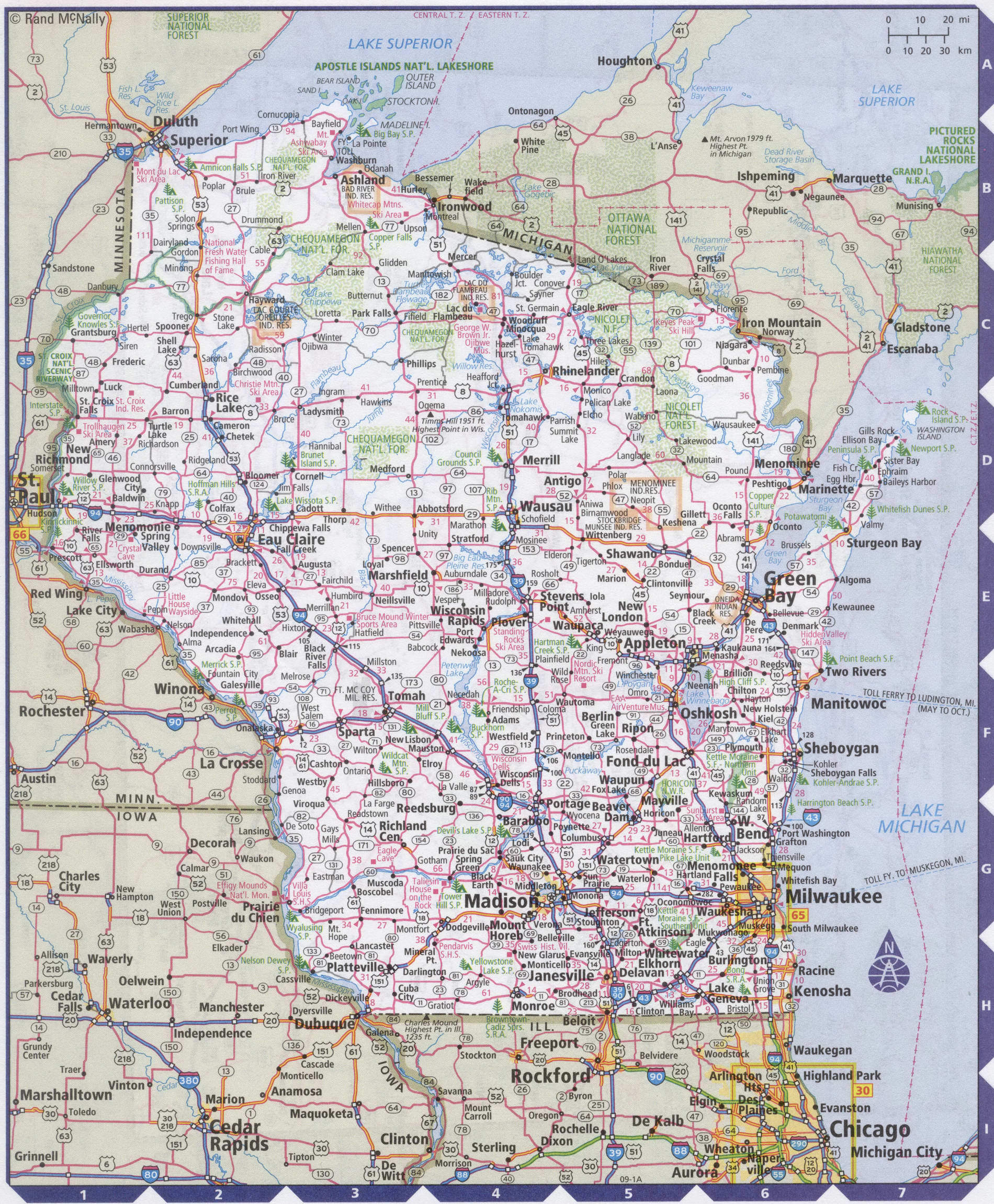
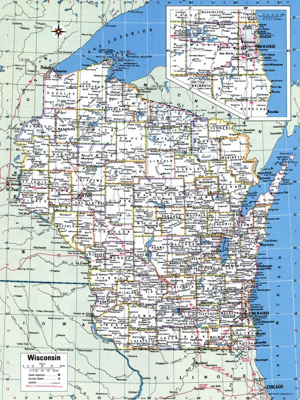
Map of Wisconsin state with cities and counties
Maps of Wisconsin state with cities and counties, highways and roads
Detailed maps of the state of Wisconsin are optimized for viewing on mobile devices and desktop computers. This page contains four maps of the state of Wisconsin:
- The first is a detailed road map - Federal highways, state highways, and local roads with cities;
- The second is a roads map of Wisconsin state with localities and all national parks, national reserves, national recreation areas, Indian reservations, national forests, and other attractions;
- The third is a map of Wisconsin state showing the boundaries of all the counties of the state with the indication of localities-administrative centers of the counties;
- The fourth is a Google satellite map of Wisconsin state, where you can view the location of all the interesting places in the state in interactive mode.
You will evaluate which of the presented maps is most useful for you. It may be convenient for you to compare information from all four sources.
All maps can be freely used-downloaded as a file or printed on paper. Using our maps, you can get directions along highways and local roads for sightseeing trips to the main attractions of the state of Wisconsin:
Recreational areas on the territory of the Apostolic Islands in the waters of lake Superior.
There are more than eighty national parks, forests, and recreation areas in the state - green plains, thickets of forests, steep lake banks, and icy moraines.
The most interesting Park in Wisconsin is Epostle island national Lakeshore in the Northern part of the state.
In Milwaukee, the Hoan arch suspension bridge is worthy of inspection.
The Allan-Bradley clock tower in Milwaukee is more than ten meters in diameter.
Milwaukee is home to the head office of the beloved Harley-Davidson biker company.
In the city of Baraboo, the world-famous circus Museum.
Fiserv Forum is a multi-purpose sports arena in Milwaukee, Wisconsin. Home arena for the Milwaukee Bucks of the National basketball Association, as well as the Marquette Golden eagles men's basketball team.
General Mitchell international airport is located eight kilometers South of the Central district of Milwaukee
(Wisconsin). The airport received its name in honor of the native of Milwaukee General William Mitchell, one of the founders United States army air forces.
The flight time from new York to Milwaukee airport is approximately 2 hours and 40 minutes.
Highways and roads map of Wisconsin state with cities

Map of Wisconsin state with national parks, reserves, recreation areas, and Indian reservations
Map of Wisconsin state counties
Google satellite map of the U.S. state of Wisconsin showing all attractions

