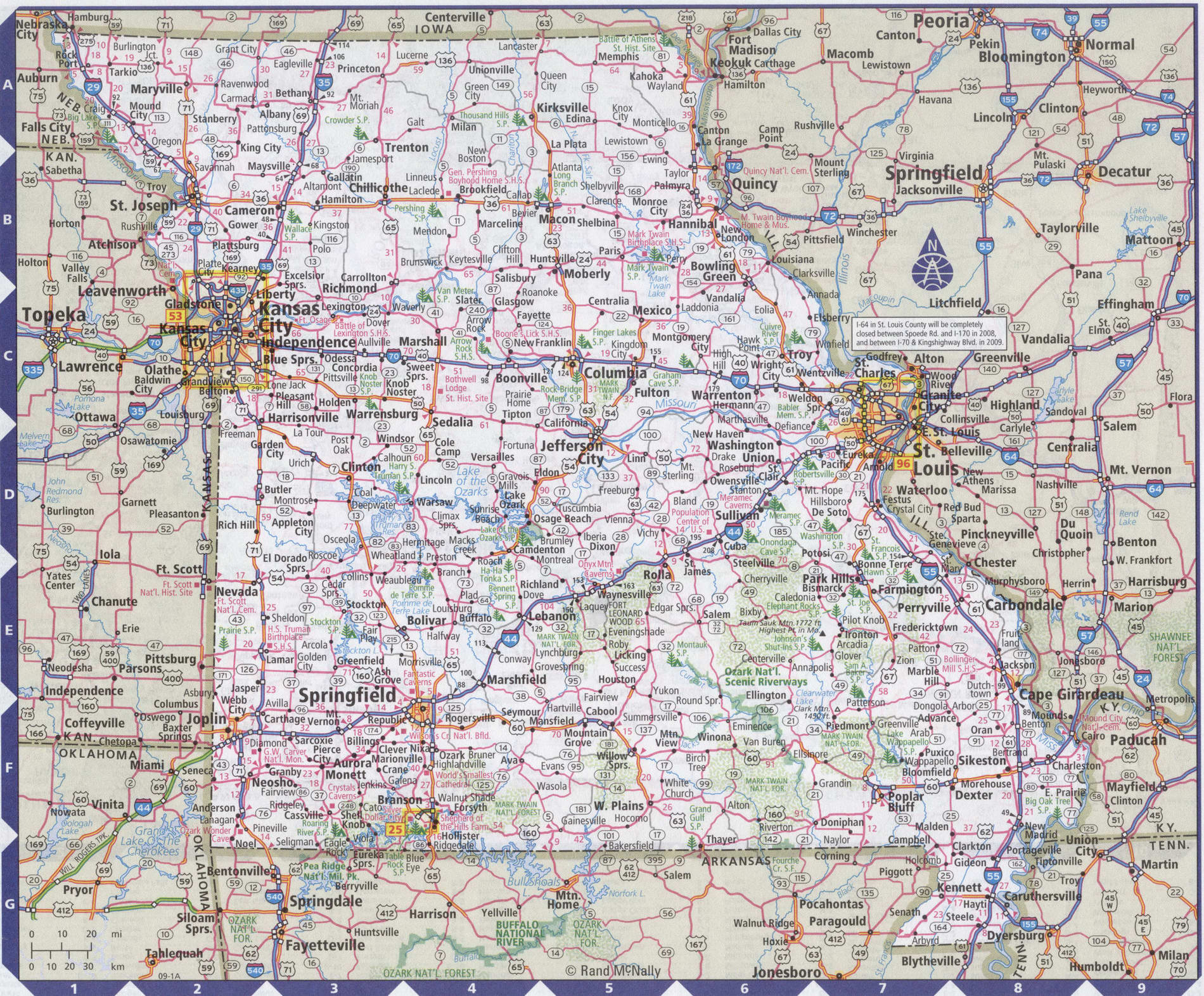
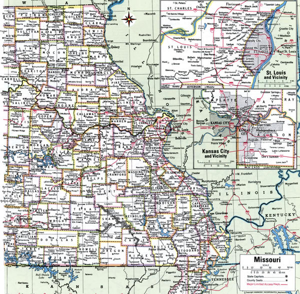
Map of Missouri state with cities and counties
Maps of Missouri state with cities and counties, highways and roads
Detailed maps of the state of Missouri are optimized for viewing on mobile devices and desktop computers. This page contains four maps of the state of Missouri:
- The first is a detailed road map - Federal highways, state highways, and local roads with cities;
- The second is a roads map of Missouri state with localities and all national parks, national reserves, national recreation areas, Indian reservations, national forests, and other attractions;
- The third is a map of Missouri state showing the boundaries of all the counties of the state with the indication of localities-administrative centers of the counties;
- The fourth is a Google satellite map of Missouri state, where you can view the location of all the interesting places in the state in interactive mode.
You will evaluate which of the presented maps is most useful for you. It may be convenient for you to compare information from all four sources.
All maps can be freely used-downloaded as a file or printed on paper. Using our maps, you can get directions along highways and local roads for sightseeing trips to the main attractions of the state of Missouri:
In the city of St. Louis, the main attraction is the 200-meter-high arch.
The main decoration of the city of Kansas city is its brilliant fountains.
"Silver dollar city" Park in Branson.
In the city of Branson, forty theaters are open to art lovers.
Enterprise Center is a sports arena located in St. Louis, Missouri. The capacity for hockey matches is 18,400 people. This home arena for the St. Louis Blues of the National hockey League.
St. Louis Lambert International Airport, is an international airport serving St. Louis, Missouri, United States. It is 14 miles (23 km) northwest of downtown St. Louis in unincorporated St. Louis County between Berkeley and Bridgeton. Flight time from new York to St. Louis airport direct flight approximately 2 hours 30 minutes.
Highways and roads map of Missouri state with cities

Map of Missouri state with national parks, reserves, recreation areas, and Indian reservations
Map of Missouri state counties
Google satellite map of the U.S. state of Missouri showing all attractions

