Maps of Western United States
Maps of the Western United States region
Road maps of the Western United States region.
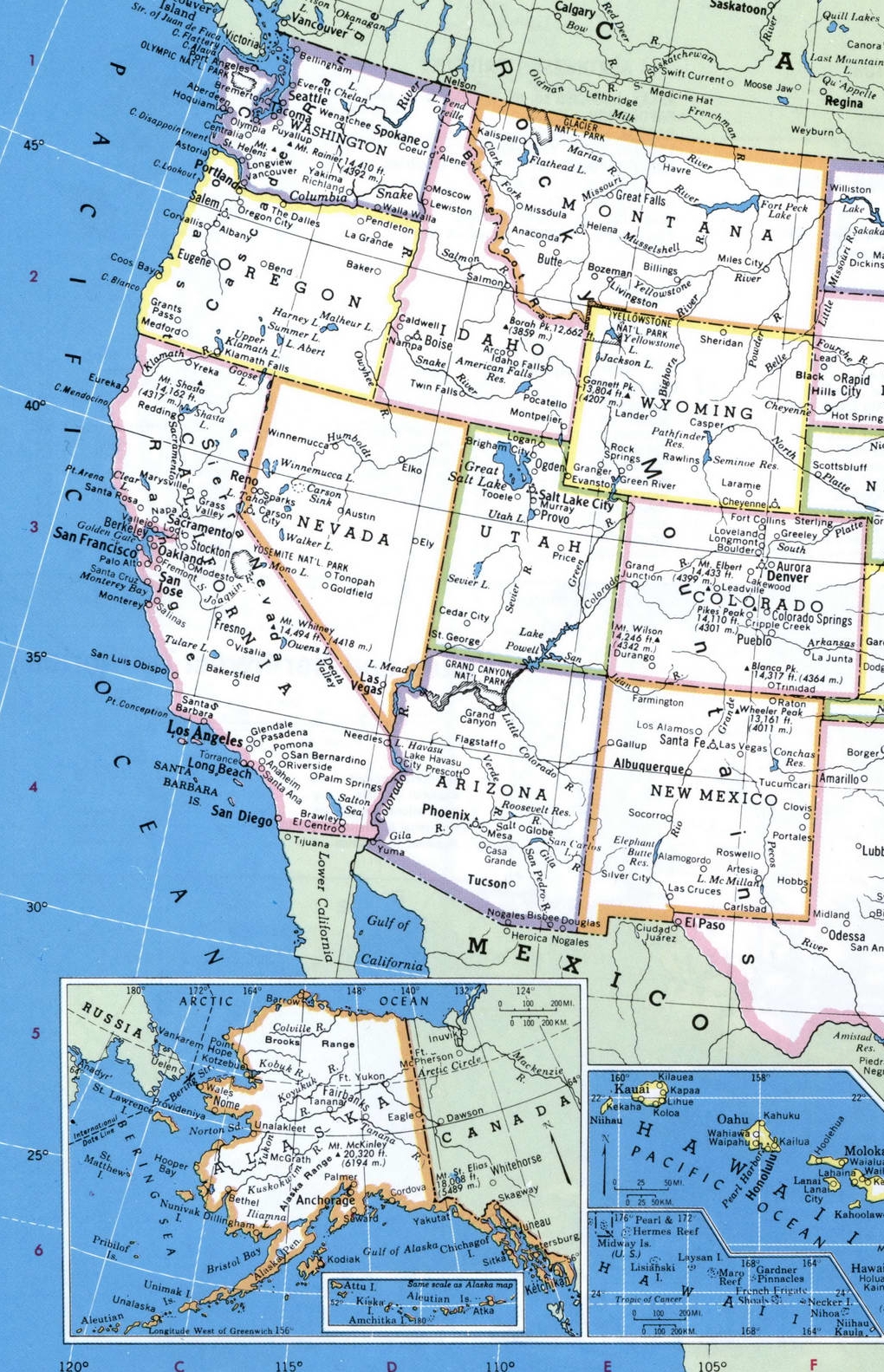
Mountain States sub-region (Idaho, Arizona, Wyoming, Colorado, Montana, Nevada, new Mexico, and Utah).
Sub-region Pacific States (Alaska, Washington, Hawaii, California, and Oregon).
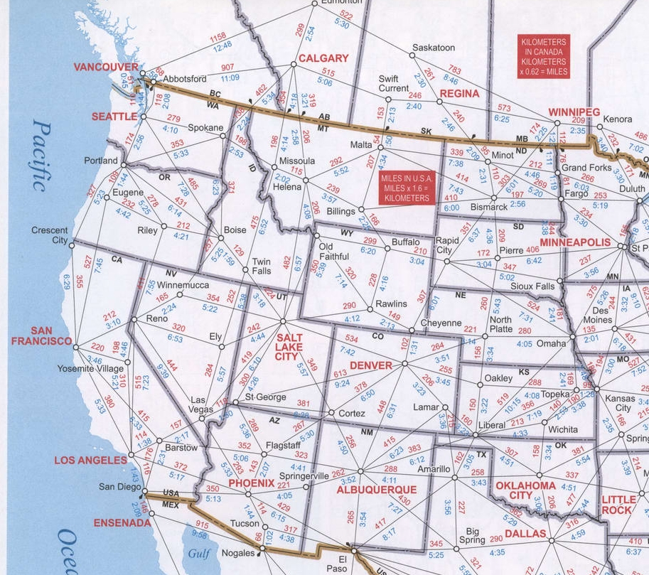
The page contains four maps of the Western region of the United States: a detailed road map of the region, an administrative map of the Western United States, an online satellite Google map of the Western United States, and a schematic diagram of highway distances between cities in the Western States. All four maps of the Western United States are very high quality and optimized for viewing on mobile devices and desktop computers, you can see the smallest details.

Map with states of Western region of the USA.

Google map of Western region of the United States of America.
Main roads highway map of Western region of the United States of America.
