Map of Hawaii state with cities and counties
Maps of Hawaii state with cities and counties, highways and roads
Detailed maps of the state of Hawaii are optimized for viewing on mobile devices and desktop computers. This page contains four maps of the state of Hawaii:
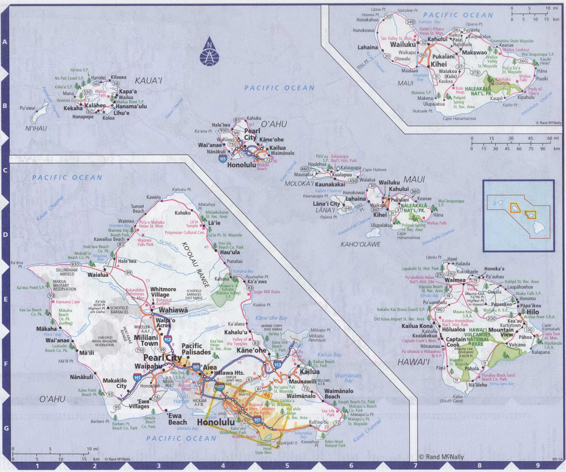
- The first is a detailed road map - Federal highways, state highways, and local roads with cities;
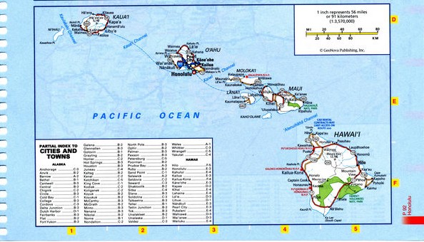
- The second is a roads map of Hawaii state with localities and all national parks, national reserves, national recreation areas, Indian reservations, national forests, and other attractions;
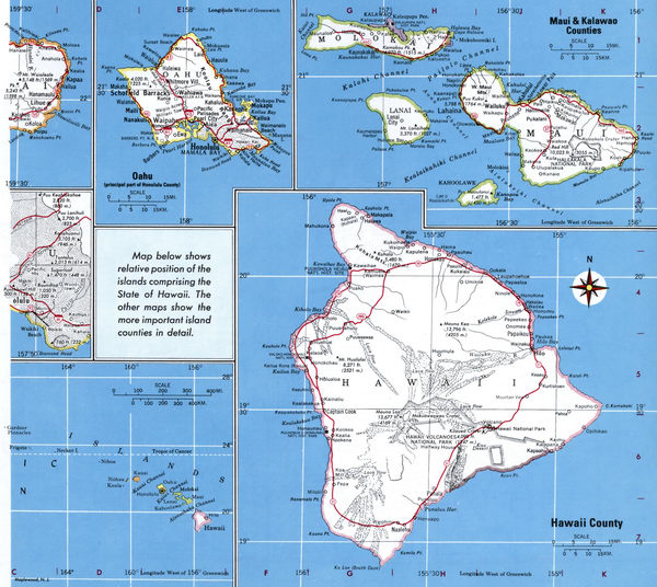
- The third is a map of Hawaii state showing the boundaries of all the counties of the state with the indication of localities-administrative centers of the counties;
- The fourth is a Google satellite map of Hawaii state, where you can view the location of all the interesting places in the state in interactive mode.
You will evaluate which of the presented maps is most useful for you. It may be convenient for you to compare information from all four sources.
All maps can be freely used-downloaded as a file or printed on paper. Using our maps, you can get directions along highways and local roads for sightseeing trips to the main attractions of the state of Hawaii:
The main natural attraction is the national reserve "Hawaiian volcanoes" with the active volcano Mauna Loa.
The symbol of the Big island is the Akaka waterfall with a height of 128 meters.
On the East coast of the island is a monument to captain James cook (Captain Cook Monument), who completed his life here in 1779.
In the valley of the temples (Oahu island), you can see several monuments, including the temple of BEDO.
On the island of Lanai is a magnificent garden of the gods, a unique geological formation.
The Hawaiian Islands are an ideal place for a beach holiday. Beautiful wild beaches with soft sand Makalawena or Hapuna beach.
Beautiful beaches with black volcanic sand Kehena beach and Punaluu beach.
On the island of Maui, there is the Haleakala national Park, which contains the extinct volcano Haleakala with a height of 3055 meters.
On the island of Oahu, you can visit the Polynesian cultural center (Paradise Cove Luau), dedicated to the culture of the indigenous people Hawaiian island.
Daniel K. Inouye international airport, also known as Honolulu international airport, is the main aviation gateway for the city and County of Honolulu
on the island of Oahu, Hawaii. It is considered one of the busiest airports in the United States, with passenger traffic exceeding 21 million passengers per year.
The flight time from new York to Honolulu airport is approximately 10 hours and 30 minutes.
Highways and roads map of Hawaii state with cities

Map of Hawaii state with national parks, reserves, recreation areas, and Indian reservations
Map of Hawaii state with counties
Free detailed map of counties Hawaii state
Google satellite map of the U.S. state of Hawaii showing all attractions

