Detailed map of United States of America
Detailed road maps of all States showing all cities and attractions. Maps are grouped by regions of the country: West USA, Midwest USA, Northeast US, Southern US. In addition to high-speed road maps for each state, there is a Google satellite map, a map of County boundaries, and a map of nature reserves and national parks. The most interesting tourist sites are listed for each state. All road maps are optimized for viewing on mobile devices and desktop computers. You can see the smallest symbols and names of geographical objects on the map page.
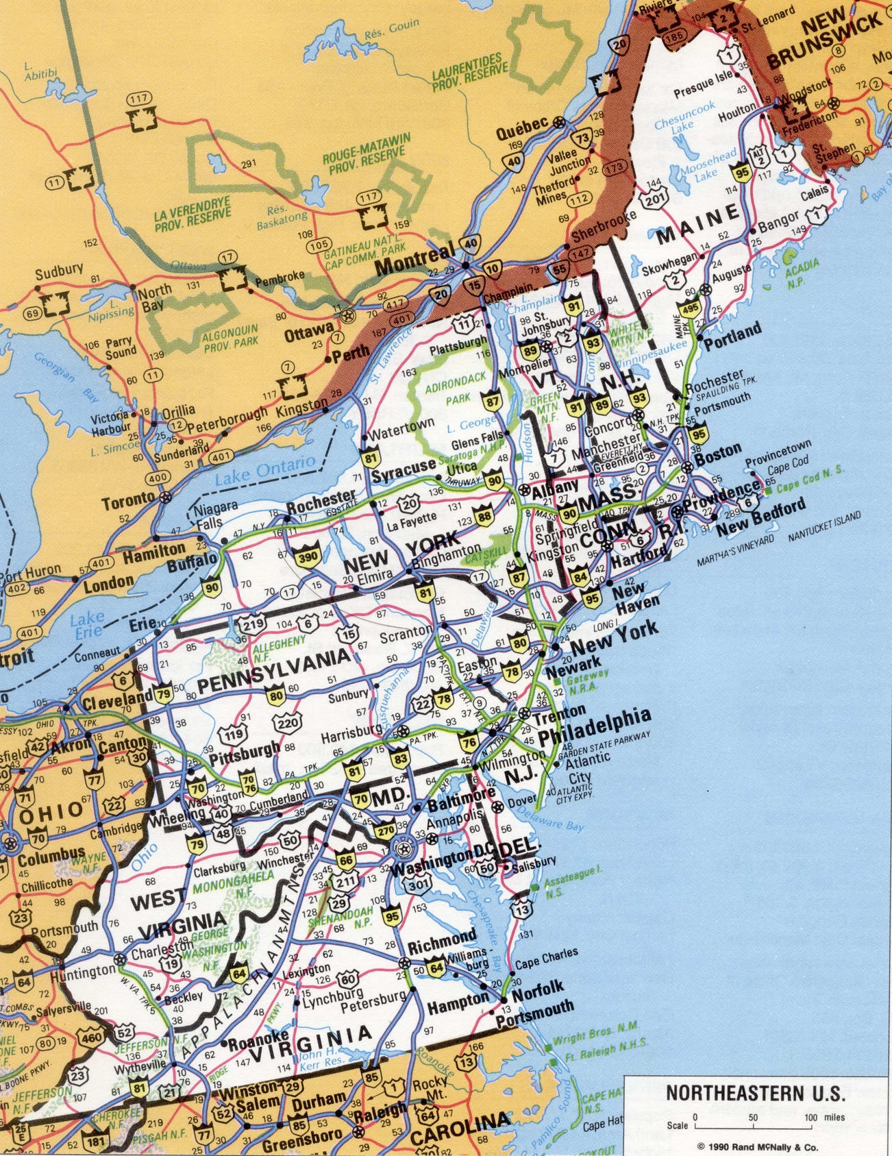
New England (Vermont, Connecticut, Massachusetts, Maine, New Hampshire, and Rhode island); mid-Atlantic States (New Jersey, New York, and Pennsylvania)
Northeast Central States (Wisconsin, Illinois, Indiana, Michigan, and Ohio)
Northwest Central States (Iowa, Kansas, Minnesota, Missouri, Nebraska, North Dakota, and South Dakota)
South Atlantic States (Virginia, Delaware, Georgia, West Virginia, Maryland, North Carolina, Florida, South Carolina, and the District of Columbia)
Southeastern Central States (Alabama, Kentucky, Mississippi, and Tennessee)
Mountain States (Idaho, Arizona, Wyoming, Colorado, Montana, Nevada, new Mexico, and Utah)
Pacific States (Alaska, Washington, Hawaii, California, and Oregon
Map of Northeastern US. Detailed map of North East coast of the United States

Road map of the East coast of the United States