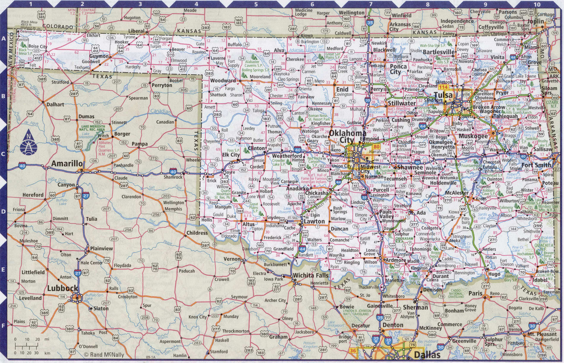
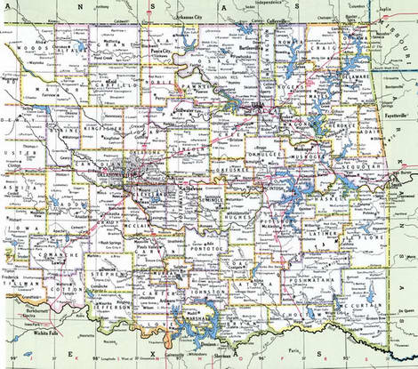
Map of Oklahoma state with cities and counties
Maps of Oklahoma state with cities and counties, highways and roads
Detailed maps of the state of Oklahoma are optimized for viewing on mobile devices and desktop computers. This page contains four maps of the state of Oklahoma:
- The first is a detailed road map - Federal highways, state highways, and local roads with cities;
- The second is a roads map of Oklahoma state with localities and all national parks, national reserves, national recreation areas, Indian reservations, national forests, and other attractions;
- The third is a map of Oklahoma state showing the boundaries of all the counties of the state with the indication of localities-administrative centers of the counties;
- The fourth is a Google satellite map of Oklahoma state, where you can view the location of all the interesting places in the state in interactive mode.
You will evaluate which of the presented maps is most useful for you. It may be convenient for you to compare information from all four sources.
All maps can be freely used-downloaded as a file or printed on paper. Using our maps, you can get directions along highways and local roads for sightseeing trips to the main attractions of the state of Oklahoma:
One of the most beautiful places in Oklahoma is the Myriad Botanical gardens.
Oklahoma attractions: the Science Museum, the Oklahoma history Museum, and the Western art gallery.
The main religious attraction of the city is the Cathedral of St. Joseph.
Oklahoma city has several theaters and art cafes: Max's Magic Theatre, the Criterion, the Loony Bin, and Malarkey's Dueling Piano Bar.
Chesapeake Energy Arena is a multi-purpose indoor sports arena in Oklahoma city. Home arena of the Oklahoma basketball club City Thunder.
Yimeni Weill Rogers airport, also known as Oklahoma city airport, is a civilian airport located in ten
miles southwest of downtown Oklahoma city. The airport is the state's main commercial air hub
Oklahoma. The distance to the city center is 16 km. Travel time by plane from new York is approximately 3 hours.
Highways and roads map of Oklahoma state with cities

Map of Oklahoma state with national parks, reserves, recreation areas, and Indian reservations
Map of Oklahoma state with counties
Google satellite map of the U.S. state of Oklahoma showing all attractions

