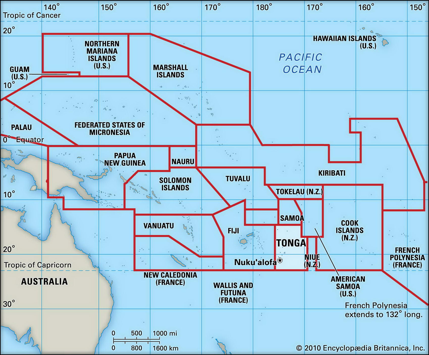
Map of Tonga and geographical facts
Where Tonga on the world map. Map of Tonga
Map of Tonga with cities. Where Tonga is on the world map. The main geographical facts about Tonga - population, country area, capital, official language, religions, industry and culture.

Fact File Tonga
Official name Kingdom of Tonga
Form of government Constitutional monarchy with single legislative body (Legislative Assembly)
Capital Nuku'alofa
Area 748 sq km (289 sq miles)
Time zone GMT + 12 hours
Population 106,140
Projected population 2015 110,000
Population density 141.9 per sq km (554.1 per sq mile)
Life expectancy 68.6
Infant mortality (per 1,000) 13.7
Official languages Tongan, English
Literacy rate 98.5 %
Religions Protestant 60% (including Free Wes-leyan 43%, other 17%), Roman Catholic 16%, Mormon 12%, other 12%
Ethnic groups Polynesian 98%, European 2% Currency Pa'anga
Economy Agriculture 70%, industry and services 30 %
GNP per capita US$ 2,200
Climate Tropical, moderated by trade winds; wettest period December to March
Highest point Mt Kao 1,033 m (3,389 ft)
Map reference Pages 136,141
The Polynesian kingdom of Tonga consists of an archipelago of 170 islands (36 of them inhabited) northeast of New Zealand in the South Pacific. Samoa lies to the north and Fiji to the west. Inhabited since about 1000 вс, they were named the "Friendly Isles" by Captain James Cook when he visited them in the 1770s. When Wesleyan missionaries arrived in the 1820s the people quickly began to adopt Christianity. In 1900, after Germany made colonial moves toward the islands, the King of Tonga signed a Treaty of Friendship and Protection with Britain.
Tonga was never fully colonized, and its people see themselves and their royal family as unique in the Pacific. A monarchy in which the king and a small group of hereditary nobles have a permanent majority in the Legislative Assembly, Tonga is now experiencing growing demands for a more democratic form of government. Although politicians of the newly established Pro-Democracy Movement have been harrassed for sedition and defamation there are signs the king may be ready for change: in 1995 he announced that it would only be a matter of time before a fully elected government was created.
North to south Tonga's three main groups of islands are Vava'u, Ha'apai, and Tongatapu, the archipelago dividing into two parallel belts of islands. In the east there are low, fertile coralline-limestone formations. In the west the terrain is higher and volcanic, the island of Kao, north of Tofua, rising to 1,033 m (3,389 ft). Mountainous landscapes of volcanic rock are found on the Vava'u group and one island in the Ha'apai group. In 1995 a new volcanic island which had emerged from the sea was discovered in the Ha'apai group. About 25 percent of Tonga's land area is arable, but surface water is rare on the coral islands.
Most of the people of Tonga live by subsistence farming, the main food crops being yams, taro, and cassava. Two-thirds of exports come from coconuts, bananas, and vanilla beans, other cash crops being pumpkin, fruits and vegetables, cocoa, coffee, ginger, and black pepper. Despite the high level of agricultural activity a good deal of food has to be imported, most of it coming from New Zealand. In the early 1990s the economy continued to grow, largely because of a rise in pumpkin exports, increased foreign aid, and a number of construction projects. Tourism is now the main source of hard currency earnings, but Tonga remains dependent on sizeable aid funds, plus remittances from its many citizens who live and work in New Zealand, Australia, and the USA.