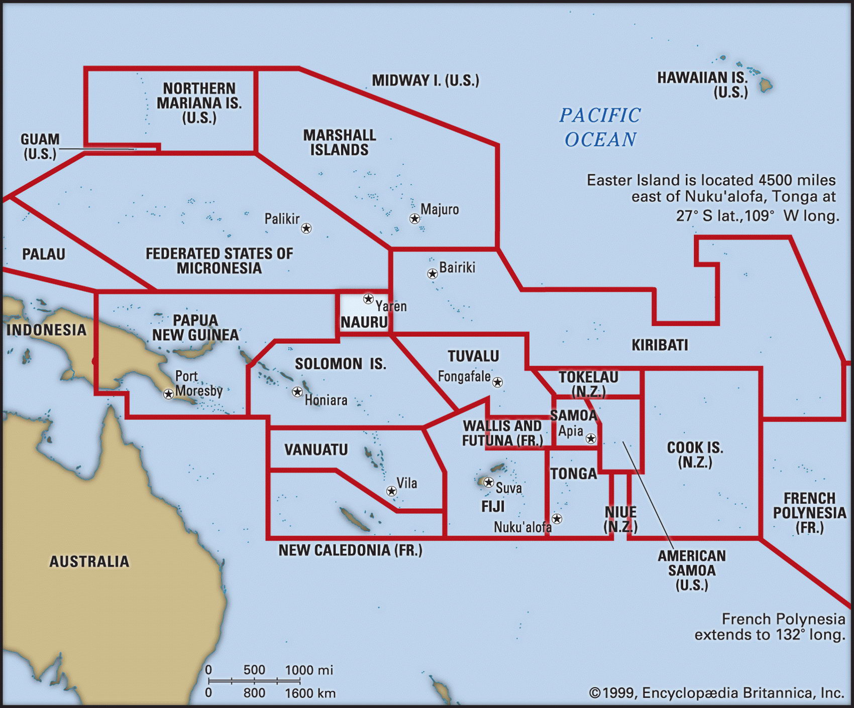
Map of Nauru and geographical facts
Where Nauru is on the world map. Map of Nauru
Map of Nauru with cities. Where Nauru is on the world map. The main geographical facts about Nauru - population, country area, capital, official language, religions, industry and culture.

Fact File Nauru
Official name Republic of Nauru
Area 21 sq km (8.1 sq miles)
Time zone GMT + 11.5 hours
Population 12,400
Projected population 2015 17,000
Life expectancy 61.6
Infant mortality (per 1,000) 10.5
Official language Nauruan
Other language English
Literacy rate 99 %
Form of government Republic with single legislative body (Parliament)
Capital None; government offices in Yaren
Population density 590.5 per sq km (1,530.9 per sq mile)
Religions Protestant 66%, Roman Catholic 33c
Ethnic groups Nauruan 58%, other Pacific Islander 26%, Chinese 8%, European 8%
Currency Australian dollar
Economy Phosphate mining, financial services, coconut production
GNP per capita US$ 5,000
Climate Tropical, with wet season November to February
Highest point Unnamed location 61 m (200 ft) Map reference Pages 138-39
Nauru is a tiny island in the Pacific 3,000 km (2,000 miles) northeast of Australia. It is the world's smallest republic and, because of the wealth of its phosphate deposits, Nauruans enjoy one of the highest per capita incomes in the Third World. This situation is coming to an end, however. By the year 2006 the phosphate is expected to run out, and it is not clear what the people will do then.
Although little is known of the original Polynesian inhabitants of the island, it was first visited by Europeans when a British ship stopped there in 1798. Clan warfare among the Polynesians became widespread in the 1870s, leading the Germans (who then controlled the Marshall Islands, and whose traders were active on Nauru) to incorporate it into their administration in 1888. Phosphate mining by both a German and a British company began in 1906. After the First World War the administration of Nauru passed to Australia and independence was granted in 1968. In 1970 Australia, New Zealand, and Great Britain relinquished their joint control of the phosphate industry to a Nauruan governmental agency, the Nauru Phosphate Corporation.
The island is a 21 sq km (8.1 sq mile) raised coral reef with a central plateau. This plateau consists of phosphate beds created by seabird droppings over the course of many centuries. It is encircled by a fertile belt of semicultivated land where most of the people live. A ring road forms a continuous strip settlement around the coastal perimeter, where houses and other buildings occupy the only habitable land. After more than ninty years of continual phosphate mining, much of the rest of the island—in effect a largely worked-out quarry—has an aspect of lunar desolation. The climate is hot and humid, but because clouds sometimes miss the small island, years can pass without any rainfall at all. What little vegetation there is consists of coconut palms, breadfruit trees, and scrub.
Phosphate is the country's only resource. About eighty percent of the island is now uninhabitable and uncultivable, and as a result all food, fuel, manufactured goods, building materials, and machinery are imported. The high proportion of processed foods in the inhabitants' diet has led to widespread obesity, and approximately one-third of the people suffer from non-insulin-dependent diabetes. Although many Nauruans live in traditional houses, they tend to spend their considerable incomes on luxury cars and electrical goods. Much phosphate income has been invested in trust funds to serve the country's long-term needs, but not all the investments have been wise and since 1990 dividends have fallen sharply.