Cote d'lvoire mapMap of Cuba and geographical facts
Cote d'lvoire Fact File
Official name Republic of Cote d'lvoire
Form of government Republic with single legislative body (National Assembly)
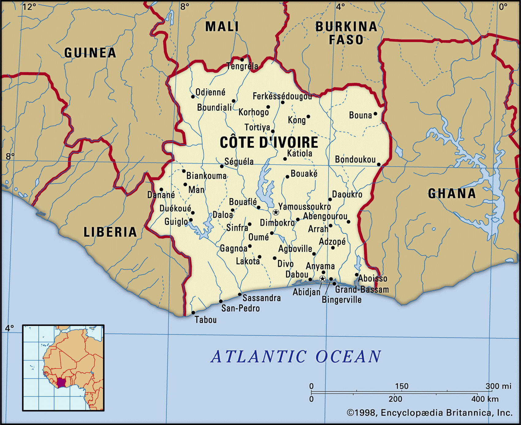
Capital Yamoussoukro
Area 322,460 sq km (124,502 sq miles)
Time zone GMT
Population 16,805,000
Projected population 2015 21,529,000
Population density 52.1 persq km (135.0 per sq mile)
Life expectancy 44.7
Infant mortality (per 1,000) 92.2
Official language French
Other languages Baule, Bete, Dioula, Senufo, Gur languages, Mande languages
Literacy rate 48.5%
Religions Indigenous beliefs 63%, Muslim 25%, Christian 12%
Ethnic groups About sixty different indigenous groups: Baule 23%, Bete 18%, Senoufou 15%, other 44 %
Currency CFA (Communaute Financiere Africaine) franc
Economy Agriculture 65%, services 27%, industry 8%
GNP per capita US$ 1,550 Climate Tropical, but drier in the north Highest point Mt Nimba 1,752 m (5,748 ft) Map reference Page 364
Cote d'lvoire (Ivory Coast) is a west African country on the Gulf of Guinea. In the eighteenth century it was conquered by Baule people from Ghana. In 1893 it became a French colony, achieving independence in I960. Since then, while retaining a close association with France, Cote d'lvoire has been a more liberal and commercially oriented society than the socialist states established elsewhere in Africa in the 1960s. This, combined with political stability, has made it relatively prosperous. Under the thirty-year eadership of Felix Houphouet-Boigny (who died in 1993) investment was secure, and most of this period saw sustained economic growth. In 1999 the first military coup in the country's history overthrew the government. The junta held elections in late 2000, excluding the opposition and rigging the results. Popular protest brought runner-up Laurent Gbagbo into power. Civil unrest continued until early 2003 when rebels were granted ministerial positions in a unity government. Implementation of the peace accord was resumed but issues such as land reform remain unresolved. Several thousand French and West African troops remain in Cote d'lvoire to maintain peace.
A sandy strip of land some 64 km (40 miles) wide runs along the shore of the Atlantic, broken by sandbars and lagoons around Abidjan. Coastal shipping has always had trouble on the west African coast where there is heavy surf and there are no natural harbors. French construction of the Vridi Canal, giving access between Abidjan and the sea through the sandbars, created a valuable deep-water port. From the coast the land rises gently, and two rainy seasons and an equatorial climate provide a covering of rainforest further inland. There are three major national parks, with wildlife including elephant and pygmy hippopotamus.
Deforestation is a concern as hardwoods such as mahogany and ebony are felled. Growing in the place of native forest is plantation teak. Farther north the landscape changes to savanna grassland. Highlands are found in the northwest.
Cote d'lvoire has varied mineral resources— petroleum, diamonds, manganese, bauxite, and copper—and is one of the world's main producers of coffee, cocoa beans, and palm oil. A large percentage of the population is engaged in farming, forestry, and livestock raising. Difficulties arise because of fluctuating coffee and cocoa prices but during the 1990s Cote d'lvoire prospered, due mainly to the growth of new exports such as pineapples and rubber, trade and banking liberalization, and offshore oil and gas discoveries.