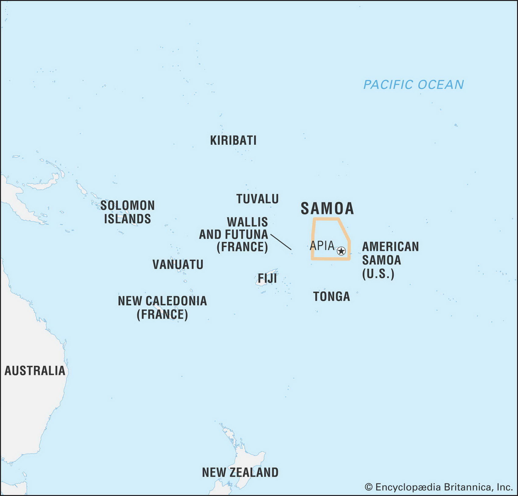
Map of American Samoa and geographical facts
Where American Samoa on the world map. Map of American Samoa
Map of American Samoa with cities. Where American Samoa is on the world map. The main geographical facts about American Samoa - population, country area, capital, official language, religions, industry and culture.
Fact File American Samoa
Official name Territory of American Samoa
Form of government Unincorporated and unorganized territory of the USA
Capital Pago Pago
Area 199 sq km (77 sq miles)
Time zone GMT-11 hours
Population 68,700
Life expectancy 75.5
Infant mortality (per 1,000) 10.1
Literacy rate 97%
Currency US dollar
Economy Fishing 34%, government 33%, other 33%
Climate Tropical; wet season November to April Map reference Pages 136, 141
Consisting of aroup of five volcanic islands and two atolls in the South Pacific located about midway between Hawaii and New Zealand, American Samoa has been settled by Polynesian peoples since about 800 вс. The first European contact was made by the Dutch in 1722. British missionaries were active in the region from 1830 onwards. In 1872 the USA won exclusive rights from the High Chief to use Pago Pago as a strategic base for the American fleet. Pago Pago has one of the best natural deepwater harbors in the region, sheltered by surrounding mountains from rough seas and high winds. About ninety percent of trade is with the USA, which heavily subsidizes the economy. Tuna fishing, processing, and export are the foundation of private sector economic activity.