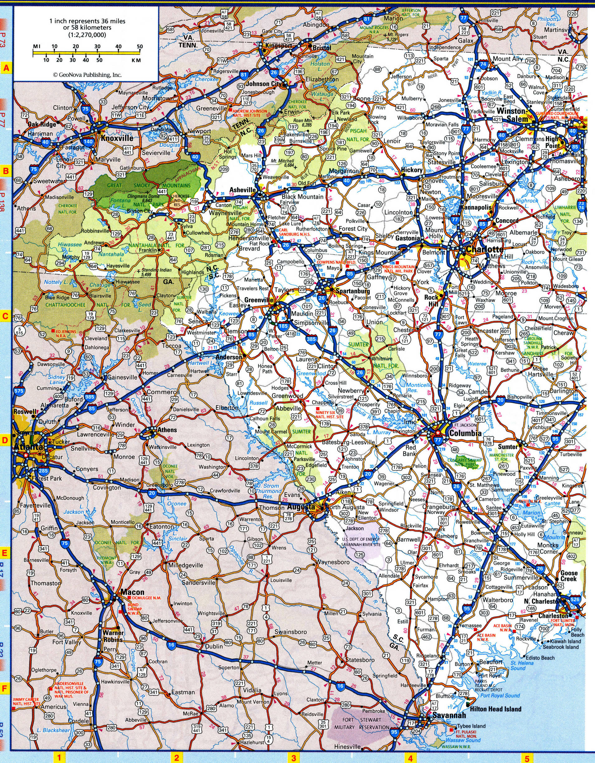
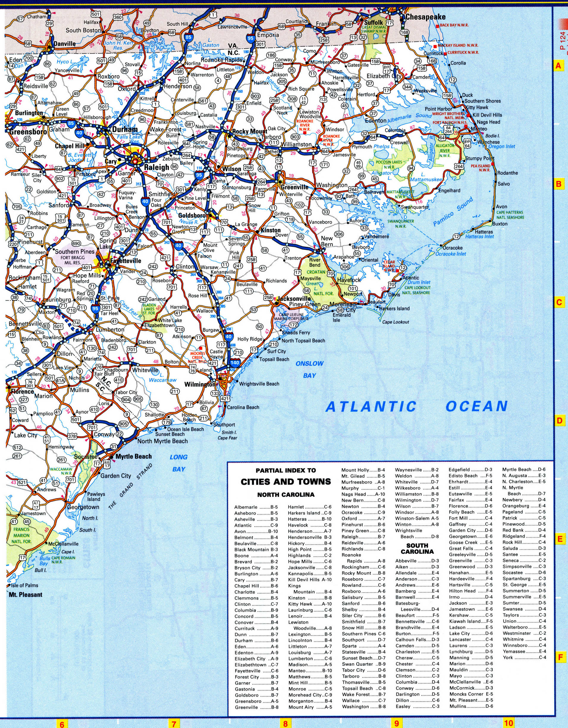
South Carolina map with rivers and lakes, parks and recreation area
Map of South Carolina national parks
South Carolina map with national parks and recreation area. Free online map of South Carolina national parks, forests, preserve, recreation areas and monuments.


List of National Parks of South Carolina state
Congaree National Park
List of National Forests of South Carolina state
Francis Marion National Forest South Carolina 1936
Sumter National Forest South Carolina 1936
State Parks of South Carolina
Aiken State Park
Andrew Jackson State Park
Baker Creek State Park
Barnwell State Park
Billy Dreher Island State Park
Caesars Head State Park
Cheraw State Park
Chester State Park
Colleton State Park
Croft State Park
Edisto Beach State Park
Givhans Ferry State Park
Hamilton Branch State Park
Hampton Plantation State Park
Hickory Knob State Park
Hunting Island State Park
Huntington Beach State Park
Keowee Toxaway State Park
Kings Mountain State Park
Lake Warren State Park
Lake Wateree State Park
Landsford Canal State Park
Lee State Park
Little Pee Dee State Park
Lynches River State Park
Myrtle Beach State Park
N R Goodale State Park
Oconee State Park
Old Santee Canal State Park
Paris Mountain State Park
Poinsett State Park
Redcliffe State Park
Rivers Bridge State Park
Rose Hill State Park
Sadlers Creek State Park
Santee State Park
Sesquicentennial State Park
Table Rock State Park
USS Yorktown State Park
Woods Bay State Park
State Forests of South Carolina
Harrison State Forest
Manchester State Forest
Poinsett State Forest
Sand Hills State Forest
National Forest
Sumter National Forest
National Historic Site
Ninety Six National Historic Site