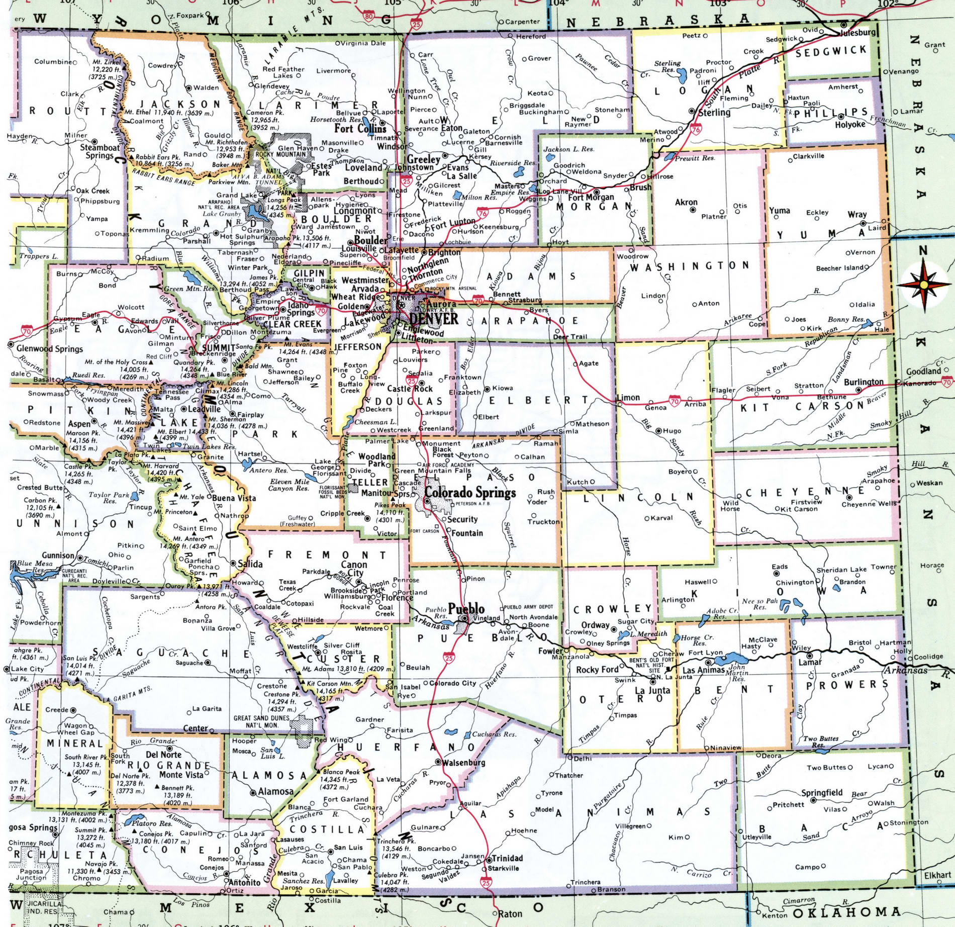
Map of Colorado showing county with cities
Map of Colorado county
Free image map county of Colorado USA.

List of Colorado counties
List watch Colorado counties:
1 Denver County 727,211
2 El Paso County 720,403
3 Arapahoe County 656,590
4 Jefferson County 582,881
5 Adams County 517,421
6 Larimer County 356,899
7 Douglas County 351,154
8 Boulder County 326,196
9 Weld County 324,492
10 Pueblo County 168,424
11 Mesa County 154,210
12 Broomfield County 70,465
13 Garfield County 60,061
14 La Plata County 56,221
15 Eagle County 55,127
16 Fremont County 47,839
17 Montrose County 42,758
18 Delta County 31,162
19 Summit County 31,011
20 Morgan County 29,068
21 Elbert County 26,729
22 Montezuma County 26,183
23 Routt County 25,638
24 Teller County 25,388
25 Logan County 22,409
26 Chaffee County 20,356
27 Park County 18,845
28 Otero County 18,278
29 Pitkin County 17,767
30 Gunnison County 17,462
31 Alamosa County 16,233
32 Grand County 15,734
33 Las Animas County 14,506
34 Archuleta County 14,029
35 Moffat County 13,283
36 Prowers County 12,172
37 Rio Grande County 11,267
38 Yuma County 10,019
39 Clear Creek County 9,700
40 Conejos County 8,205
41 San Miguel County 8,179
42 Lake County 8,127
43 Kit Carson County 7,097
44 Huerfano County 6,897
45 Saguache County 6,824
46 Rio Blanco County 6,324
47 Gilpin County 6,243
48 Crowley County 6,061
49 Lincoln County 5,701
50 Bent County 5,577
51 Custer County 5,068
52 Ouray County 4,952
53 Washington County 4,908
54 Phillips County 4,265
55 Costilla County 3,887
56 Baca County 3,581
57 Sedgwick County 2,248
58 Dolores County 2,055
59 Cheyenne County 1,831
60 Kiowa County 1,406
61 Jackson County 1,392
62 Hinsdale County 820
63 Mineral County 769
64 San Juan County 728