Map of Massachusetts state with cities and counties
Maps of Massachusetts state with cities and counties, highways and roads
Detailed maps of the state of Massachusetts are optimized for viewing on mobile devices and desktop computers. This page contains four maps of the state of Massachusetts:
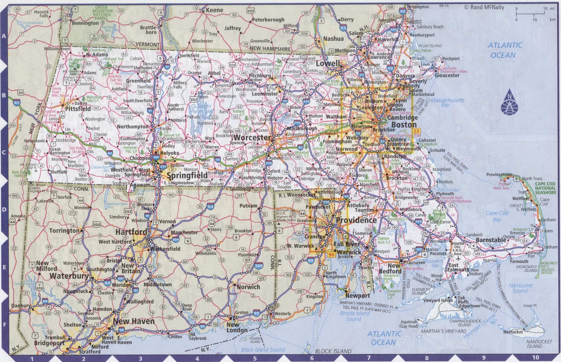
- The first is a detailed road map - Federal highways, state highways, and local roads with cities;
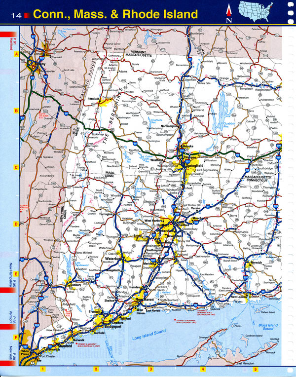
- The second is a roads map of Massachusetts with localities and all national parks, national reserves, national recreation areas, Indian reservations, national forests, and other attractions;
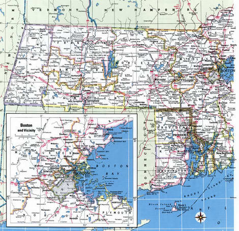
- The third is a map of Massachusetts showing the boundaries of all the counties of the state with the indication of localities-administrative centers of the counties;
- The fourth is a Google satellite map of Massachusetts, where you can view the location of all the interesting places in the state in interactive mode.
You will evaluate which of the presented maps is most useful for you. It may be convenient for you to compare information from all four sources.
All maps can be freely used-downloaded as a file or printed on paper. Using our maps, you can get directions along highways and local roads for sightseeing trips to the main attractions of the state of Massachusetts:
The main cultural attractions of the state capital of Boston include numerous colleges and universities, the most famous of which is Harvard.
Fans of classical music can attend a concert of the Boston Symphony orchestra and go to the ballet.
The city of Lincoln has a beautiful Institute of contemporary art.
The city of Plymouth is home to the unique open-air ethnographic Museum "Plimoth Plantation".
The new Bedford whaling Museum.
The Cape Cod Peninsula is home to a national Park.
TD Garden is a sports arena in Boston. Named after the sponsor TD Bank. Capacity for hockey 17500 people, for basketball 18600 human. TD garden is the home arena for the NHL's Boston Bruins, the NBA's Boston Celtics, and the Boston Blazers National Lacrosse League.
The state's largest airport, General Edward Lawrence Logan International Airport, is located near the city of Boston, Massachusetts, one of the 20 busiest airports in the United States, with a passenger turnover of approximately 36 million passengers per year. The flight time from new York to Boston airport on a direct flight is approximately 1 hour 10 minutes.
Highways and roads map of Massachusetts state with cities

Map of Massachusetts and Connecticut. Map of western Massachusetts and western Connecticut
Map of Massachusetts state with national parks, reserves, recreation areas, and Indian reservations
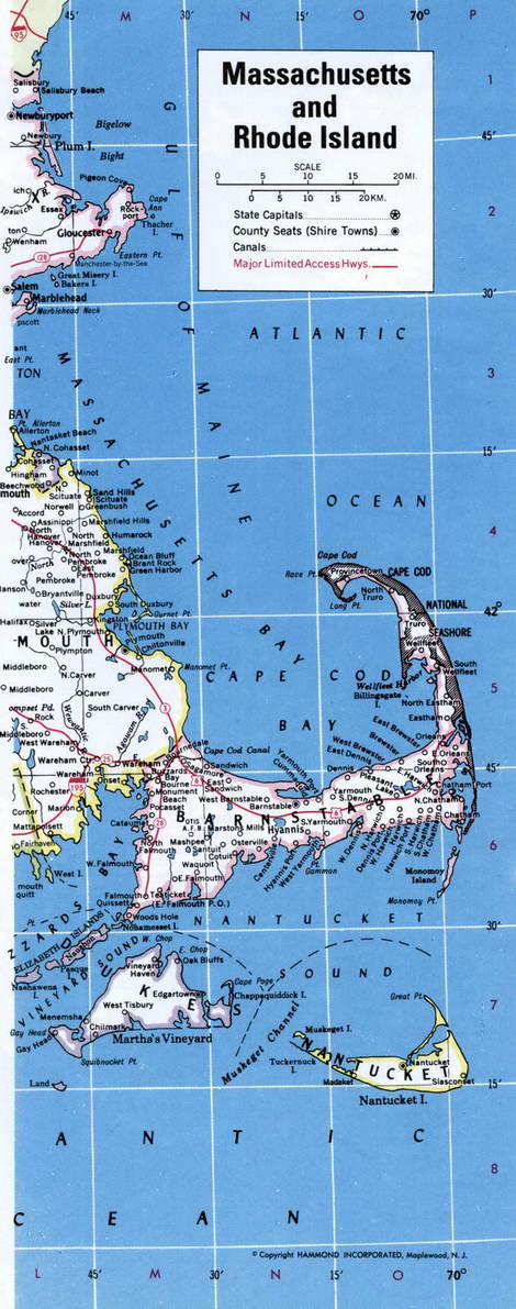
Map of Massachusetts, Connecticut and Rhode Island. Map of easttern Massachusetts and eastern Connecticut
Map of Massachusetts state with counties
Detailed image map of Massachusetts state with counties
Google satellite map of the U.S. state of Massachusetts showing all attractions


