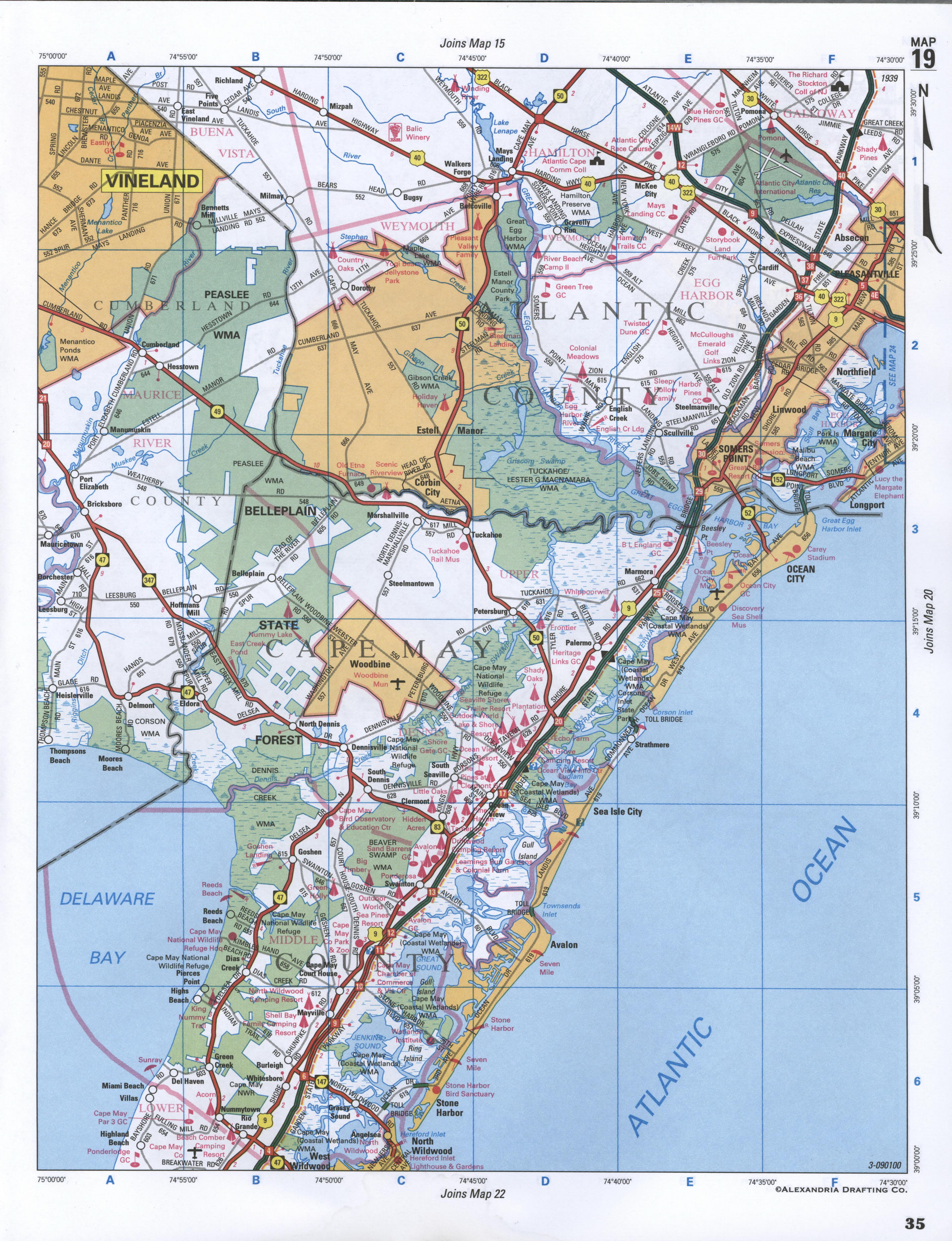
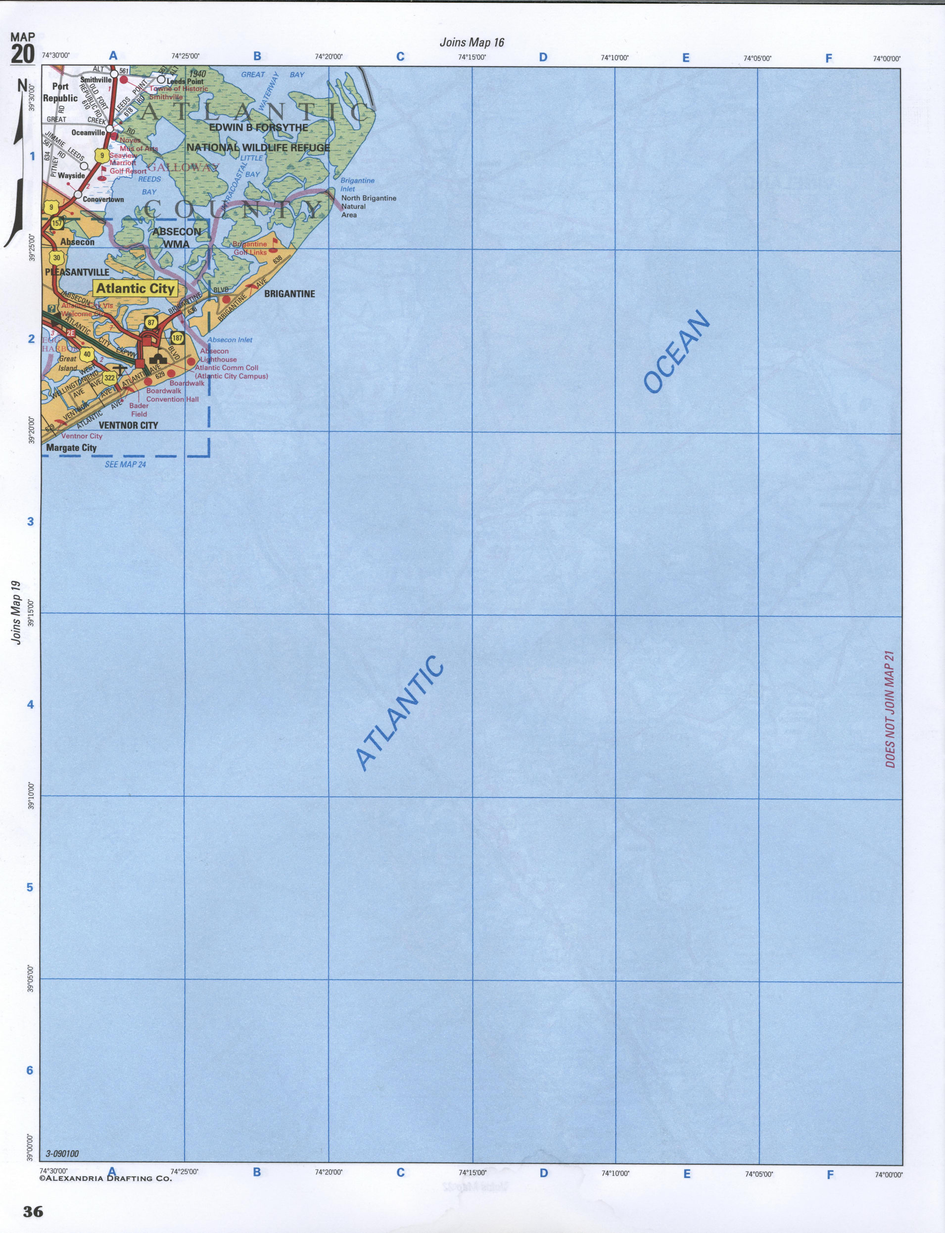
Map of Atlantic County, New Jersey state, Mays Landing
Map of Atlantic County, New Jersey
Maps of Atlantic County (New Jersey state)
- Detailed highways and local roads map of Atlantic County
- Satellite map of Atlantic County, New Jersey state
- Street map city CDP of Mays Landing, New Jersey, United States


Satellite map of Atlantic County (New Jersey state) with the borders of neighboring counties
The County's administrative centre CDP Mays Landing - street map with house numbers