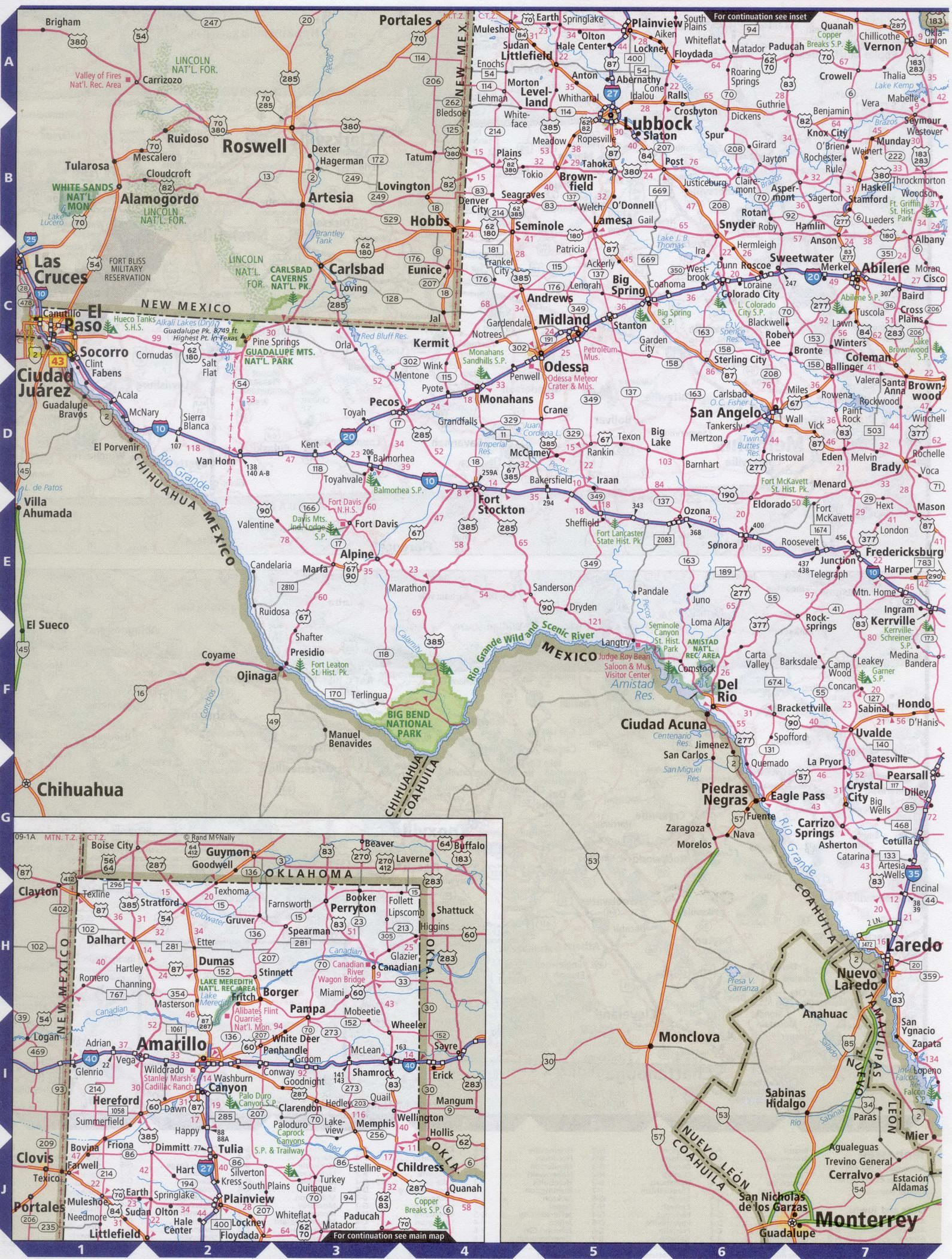
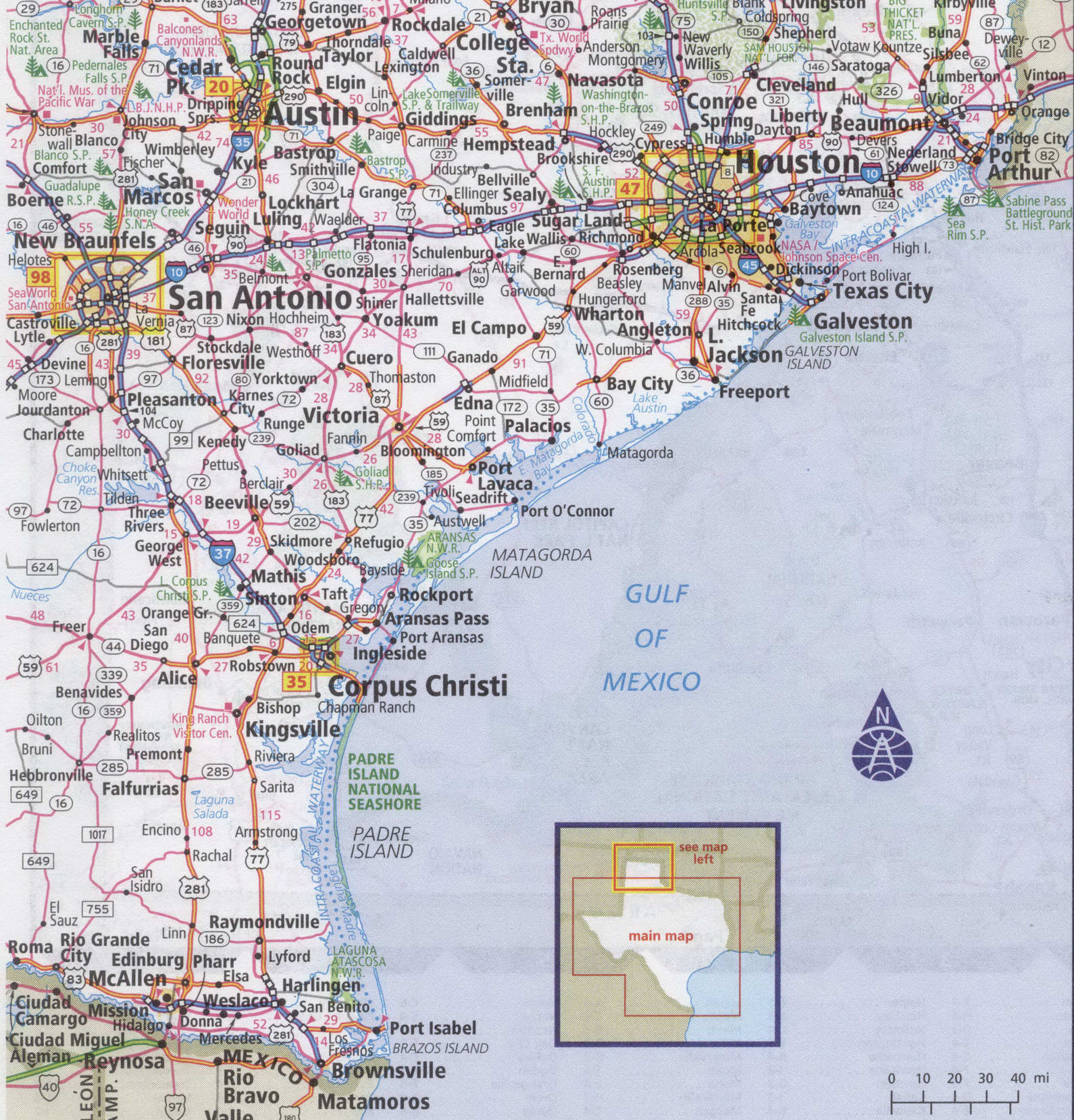
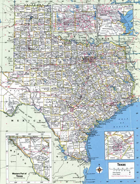
Map of Texas state with cities and counties
Maps of Texas state with cities and counties, highways and roads
Detailed maps of the state of Texas are optimized for viewing on mobile devices and desktop computers. This page contains four maps of the state of Texas:
- The first is a detailed road map - Federal highways, state highways, and local roads with cities;
- The second is a roads map of Texas state with localities and all national parks, national reserves, national recreation areas, Indian reservations, national forests, and other attractions;
- The third is a map of Texas state showing the boundaries of all the counties of the state with the indication of localities-administrative centers of the counties;
- The fourth is a Google satellite map of Texas state, where you can view the location of all the interesting places in the state in interactive mode.
You will evaluate which of the presented maps is most useful for you. It may be convenient for you to compare information from all four sources.
All maps can be freely used-downloaded as a file or printed on paper. Using our maps, you can get directions along highways and local roads for sightseeing trips to the main attractions of the state of Texas:
In Dallas, there are several outstanding monuments of modern architecture: the Bank of America skyscrapers, fountain Plaza, Renaissance tower, and chase center.
Dallas city of culture and art: center for contemporary sculpture, art Museum, Trammell and Margaret crow collection of Asian art, contemporary theater for children. Dallas is home to one of the world's largest Opera halls, Morton H. Meyerson.
Dallas cultural attractions: the Dallas Museum of art and the Opera house.
El Paso hosts festivals and celebrations, and is a center of Spanish-language culture.
The King Ranch on the Gulf of Mexico for fans of eco-tourism.
American Airlines Center is a multi-purpose arena located in Victory Park in Dallas, Texas. It is the home arena for the Dallas Mavericks of the National basketball Association, the Dallas stars of the National hockey League, and the Dallas Vigilantes of the AFL. The capacity for hockey matches is 18,500 people.
The largest airport in the state of Texas, Dallas-Fort Worth International Airport, is located between the cities of Dallas and Fort worth. Travel time on a direct flight from new York is approximately 3 hours and 30 minutes.
Highways and roads map of Texas state with cities
Western Texas state map

Eastern Texas state map the image to watch

Map of Western Texas state with national parks, reserves, recreation areas, and Indian reservations
Map of Eastern Texas state
Map of Texas state counties
Google satellite map of the U.S. state of Texas showing all attractions


